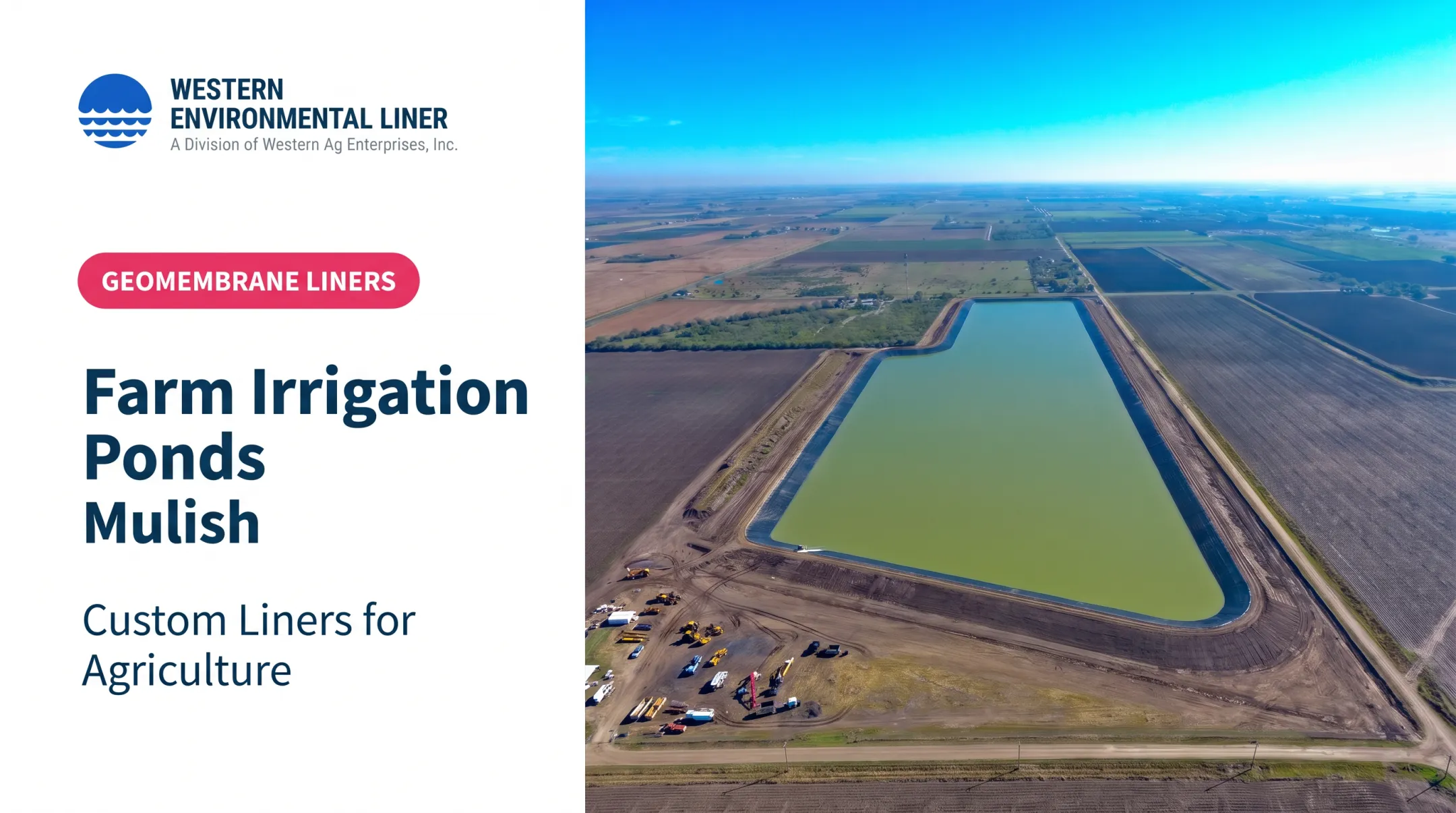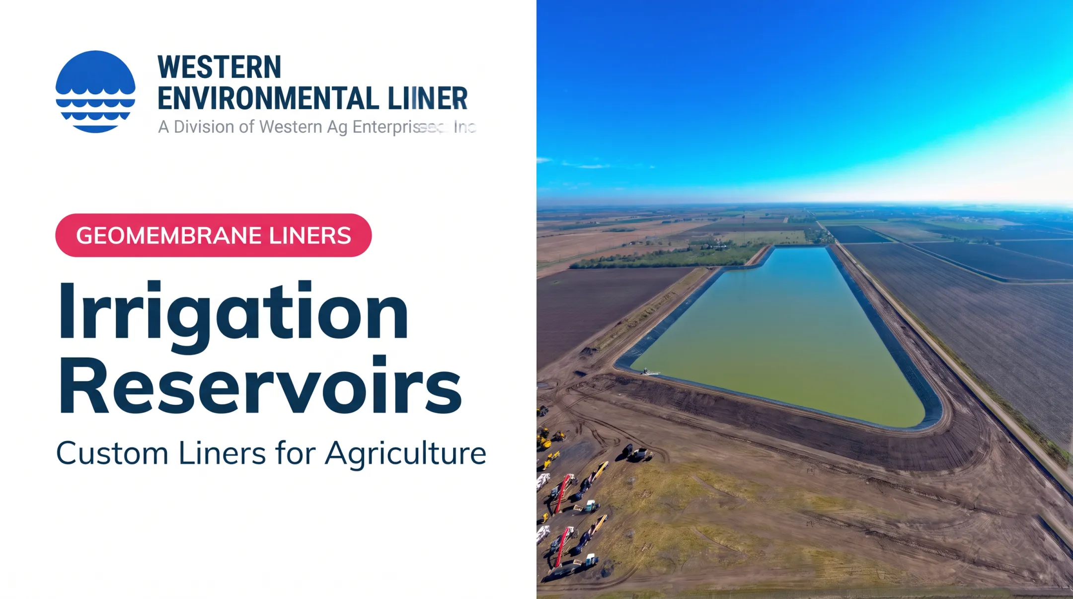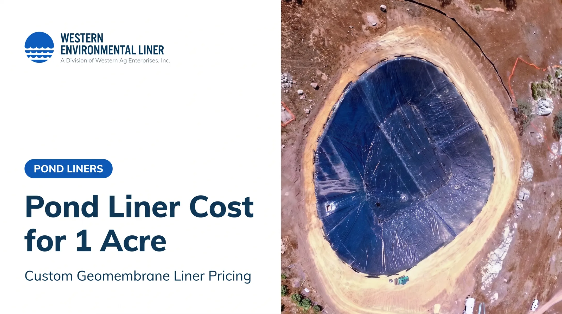

Whether it does any of that depends on decisions made before the excavator arrives: purpose, watershed, soil, water source, size, seepage control, overflow design, and upkeep. A pond that looks fine when full can fail in August. This guide walks through how to plan one that performs.
Key Takeaways
- Intended use should drive location, type, capacity, depth, and access.
- Site investigation and a water balance matter more than any generic size rule.
- Sealing depends on proper earthwork, whether you use clay or a liner.
- Plan for inspections, sediment control, safety, and permits from day one.
What Is a Farm Pond? Uses, Benefits, and Tradeoffs
NRCS defines a pond as "a water impoundment made by constructing an embankment, excavating a dugout, or a combination of both". That separates it from a natural pond, a small stock tank, and a large reservoir with significant dam-safety obligations.
Farm Pond Uses
Common agricultural uses include:
- Irrigation storage
- Livestock water
- Aquaculture and fishing
- Fire protection
- Erosion control and flow detention
- Wildlife habitat and water-quality improvement
One pond can serve several purposes, but uses can collide. Cattle with direct access add nutrients, bacteria, and sediment. Heavy irrigation drawdown can strip fish habitat and expose shoreline. Decide which use wins when they conflict.
Farm Pond Benefits and Limitations
A well-designed pond reduces dependence on wells or hauled water, stores supply for dry spells, and can support more than one enterprise from the same water body.
It also has limits. A pond does not automatically give you:
- Potable water (treatment such as filtration and chlorination is needed)
- Reliable irrigation supply in a drought year
- Unrestricted water rights
- Added property value
Regulators can also scrutinize purpose. In Georgia, Corps of Engineers guidance ties exempt farm ponds to agricultural production and calculated water need; recreation alone does not qualify. Confirm water rights and local rules before you depend on the water.
Farm Pond Types and Sizing
What Are the Three Types of Ponds?
By construction method, the USDA Natural Resources Conservation Service (NRCS) recognizes:
- Embankment (dam) ponds: water is held behind a built embankment, usually across a drainage.
- Excavated ponds: a dugout in the ground, common on flat land.
- Combination ponds: both methods, classified as embankment when water at the auxiliary spillway level stands at least 3 feet above the lowest original ground.
Some extension sources sort ponds by water source instead: runoff, spring or groundwater, and surface-water or stream supply. Missouri Extension cautions against flowing-stream sites because flushing complicates water management and obstructing streams may be regulated.
Choosing a Pond Type for the Property
Match the type to the land:
- Rolling terrain with a defined drainage favors an embankment pond.
- Flat ground with a high water table favors excavation.
- Permeable soil, karst, or a downstream house or road changes the whole risk picture.
- Available excavation material determines whether you can build a dam at all.
How Big Are Farm Ponds?
There is no universal answer. Size depends on several factors:
- Intended demand and watershed yield
- Rainfall, evaporation, and seepage
- Drought reserve and sediment storage
- Setbacks and budget
Benchmarks are regional. Missouri recommends 10-20 watershed acres per surface acre for fish and aquaculture ponds, according to Missouri Extension. Do not apply that to Arizona or Georgia. Also keep units straight: watershed ratios relate to surface acres, while storage is measured in acre-feet.
Livestock demand shows how fast numbers climb. Clemson lists daily water use roughly as:
- Beef cows: 6-15 gallons, rising above 20 gallons in heat over 80°F
- Dairy cows: 15-30 gallons, and 30-40 in heat
Depth, Shape, and Usable Capacity
Design for the dry season, not the full pool. Missouri fish ponds call for a deepest area of at least 6-7 feet, but that is not a livestock minimum. Summer evaporation can take up to 0.5 inch per day.
Consider:
- Bank slopes and safe shoreline access
- Sediment that steadily reduces storage
- Habitat zones
- Expected water-level swings
Planning a Farm Pond: Site, Water Source, and Budget
Selecting and Investigating the Site
Start with a full site review before you break ground:
- Topographic maps and aerial imagery
- Drainage patterns, boundaries, and utilities
- Equipment access, nearby structures, and downstream properties
Call 811 before any soil-disturbing work.
Then dig. NRCS calls for pits, trenches, or borings, with soils classified under the Unified Soil Classification System. Look at:
- Clay content and permeability
- Sand, rock, shale, and groundwater
- Contamination risk
- Suitable embankment material on site
Alabama Extension rates clay and silty clay as excellent, sandy clay as usually satisfactory, and coarse sand or gravel mixes as unsuitable. An impervious layer is usually at least 2 feet thick. In limestone regions, hidden crevices and sinkholes call for geological investigation. Where native soils will not hold water, a geomembrane liner is often the practical fix.
Confirming the Water Source and Water Balance
Runoff, springs, wells, and streams each differ in reliability, seasonal swing, legal status, and contaminant risk. Upstream land use can bring in sediment and nutrients.
Water law matters too. Riparian states tie use to adjoining land; prior-appropriation states prioritize senior rights during shortages.
NC State's worked example shows the method: a 320-acre watershed, 40 acres of corn, and roughly 27 acre-feet of required storage. It leaves out evaporation and seepage, so real needs run higher. And if annual demand exceeds annual runoff, a bigger pond won't fix it.

Setting Goals, Budget, and Project Scope
Document these items before design:
- Primary and secondary uses
- Target storage and acceptable water-level variation
- Access, fencing, and livestock exclusion
- Irrigation intake location
- Habitat, future expansion, and maintenance access
Cost categories to price out:
- Surveying and engineering
- Excavation, hauling, and dam construction
- Spillways, drains, soil amendments, or liners
- Fencing, access roads, and permits
- Stocking and ongoing maintenance
Alabama Extension identifies earthmoving as the largest construction cost factor.
Working With Qualified Professionals
Call your conservation district and NRCS office early. Add a geotechnical professional or engineer when the project involves a dam, a stream, wetlands, downstream risk, or tricky soils.
Building for Water Retention and Long-Term Performance
Earthwork and Subgrade Preparation
Strip topsoil and organic material. Shape the basin and embankment. Compact suitable soil in controlled lifts; Alabama guidance suggests moist soil and gradual 6-8 inch layers. NRCS also calls for a relatively impervious cutoff beneath the dam.
Shortcuts show up later as seepage, cracking, settlement, or bank failure. Roots, debris, animal burrows, and a soft subgrade will also damage any liner placed on top.
Choosing a Water-Retention System
Three options dominate:
| Option | Fits when | Watch for |
|---|---|---|
| Compacted native clay | Soil investigation shows suitable clay | Needs perfect compaction; clay can leak otherwise |
| Bentonite amendment | Soil is marginal | NRCS 520 specifies at least 22 mL free swell and a 6-inch maximum lift |
| Geomembrane or GCL | Soils are too permeable, or tight seepage control is needed | Subgrade, puncture protection, anchoring, seams |
NRCS standard 520 covers compacted soil treatment, while standard 521 covers geomembranes and GCLs. No universal service-life figure exists for either.
A liner does not replace earthwork. Under 521, the subgrade must be smooth, firm, and free of sharp stones, vegetation, standing water, and mud. Sharp stones need a nonwoven geotextile or at least 6 inches of suitable soil.
Anchor trenches resist wind uplift, and seams need documented testing. HDPE and LLDPE installers can hold IAGI welding certification, which verifies technician skill, not liner lifespan.
Custom Geomembrane Liner Option
Western Environmental Liner fabricates custom pond liners in reinforced polyethylene, reinforced polypropylene, and permeable geotextile. Factory-welded panels reduce field-weld risk, and the company offers technical support and turnkey installation as an IAGI-certified installation contractor.
Custom capabilities include:
- Custom fabrication for projects over 10,000 square feet
- One-piece liners up to 150,000 square feet
- Warranty coverage up to 20 years
Confirm current warranty terms in writing. The company does not take responsibility for subgrade, earthwork, or engineering design, so those stay with your contractor and engineer.
Its subgrade guidance is practical: flat, smooth, dry, and free of rocks, roots, and debris. If the surface falls short, add at least 6 inches of compacted bedding. Use at least 12 inches of backfill where wildlife traffic could puncture the liner. An 8-ounce geotextile is the most common extra protection.
Inlets, Drains, Spillways, and Overflow Protection
NRCS requires an auxiliary spillway unless the principal spillway passes the design peak flow and debris without overtopping. Baseline freeboard is 1 foot from the auxiliary spillway's design high water to the settled embankment crest. A valved drain is required where management or state law demands it.

Undersized, blocked, or poorly placed spillways can erode the dam, flood fields and roads, and harm neighbors. Alabama flags outlet-pipe earthfill and spillway erosion as common failure points. Protect inlets too; Western Environmental Liner can fabricate boots for inlets and pipes through a liner.
Completing the Pond for Its Intended Use
Finish with:
- Final grading and shoreline stabilization
- Native vegetation or buffer areas
- Livestock fencing and safe access
- Protected irrigation intakes
- Staged filling and a post-construction inspection
- Baseline water-quality testing
Farm Pond Maintenance, Safety, and Regulations
Routine Structural and Operational Inspections
Penn State recommends a structural inspection at least annually, plus routine water-level observation. Check for:
- Unusual seepage or wet spots below the embankment
- Cracks, settlement, and erosion
- Burrowing animals, brush, and small trees
- Blocked spillways or drainpipes
- Liner exposure, damaged fencing, and sediment buildup
Steady water loss, cracks, shifting, and repeated repairs can signal a failing liner.
Water Quality, Sediment, and Vegetation Management
Fertilizer, manure, bare soil, and runoff feed algae and sediment. NRCS warns that harmful algal blooms threaten livestock; exclude animals from suspect water and ask your state agency about testing.
Control sources first. Keep a vegetated buffer, from 10 feet on gentle slopes to 50 feet on steep ones, and test routinely to document changes.

Safety, Documentation, and Compliance
Post warning signs, control access, keep lifesaving equipment handy, and fence where children or livestock may enter. Discuss coverage with your insurer and set emergency procedures for dams and deep water.
Regulations vary and overlap:
- Clean Water Act Section 404: farm-pond construction and maintenance are listed as exempt, but EPA's exemption rules recapture projects that change use and reduce reach or flow.
- Swampbuster: wetland conversion can affect USDA benefits.
- Stormwater: sites disturbing 1 acre or more may need construction stormwater coverage.
- State dam and water rights: Kansas defines dams by height and storage and flags permits for 15+ acre-feet of retention. Missouri generally requires permits for dams 35+ feet but exempts agricultural reservoirs.
Keep surveys, designs, permits, compaction specs, installation and seaming records, inspection logs, repairs, and liner warranty papers together.
Conclusion: Make the Pond Fit the Farm
The best farm pond isn't the biggest one. It's the one whose type, capacity, sealing system, access, overflow controls, and maintenance plan match your goals and site.
Next steps before excavation begins:
- Document intended uses
- Inspect candidate sites
- Gather soil and watershed data
- Check local requirements
- Get professional design and liner guidance
Frequently Asked Questions
What is a farm pond?
A farm pond is a constructed or managed water body on agricultural land. Common uses include irrigation, livestock water, aquaculture, wildlife habitat, and recreation.
What are the three types of ponds?
By construction, they are excavated, embankment (dam), and combination ponds. Some authorities classify by water source instead: runoff, groundwater or spring, and stream-fed.
How big are farm ponds?
There is no single standard. Size depends on water demand, watershed, rainfall, evaporation, seepage, soil, permits, and budget, so use local NRCS or extension guidance.